Calendar Icon
Feb 14, 2018
Person Bust Icon
By Keith McGuffey
![]() RSS
Submit a Story
RSS
Submit a Story
Before graduating with a Bachelor’s Degree from the Department of Civil Engineering, students must work on a community project in a senior design project course. This year, civil engineering students studying in Omaha will help design a softball complex for the city of Yutan, NE.
Dr. George Hunt, assistant professor of practice of civil engineering, contacted local engineering agencies to assist with the project. He found engineers at Lamp Rynearson who were willing to help.
“Lamp Rynearson is known for their work in recreational facilities,” said Hunt. “They can teach our students what to look for on these types of projects.”
The first step is a survey of the proposed grounds.
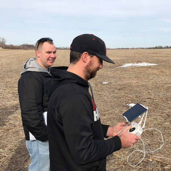
Working with Lamp Ryearson, students are employing photogrammetry, a process that triangulates distances between objects in photographs, to map elevation changes on the site.
“Photogrammetry has been around since World War II, where distances were calculated by hand,” said Mike DeBoer, a GIS Specialist with Lamp Rynearson. “However, it’s relatively new in drone technology.”
The drone captured 1,200 images of the 48-acre space the City of Yutan is planning to develop. The elevation contour map will help students design the complex while accounting for water runoff, soil stability and other factors.
“The goal of our senior design course is to help our students understand the entire life-cycle of a civil engineering project,” said Hunt. “The complex will not be complete before the end of the semester, but it shows them the work that goes into designing these facilities.”
-
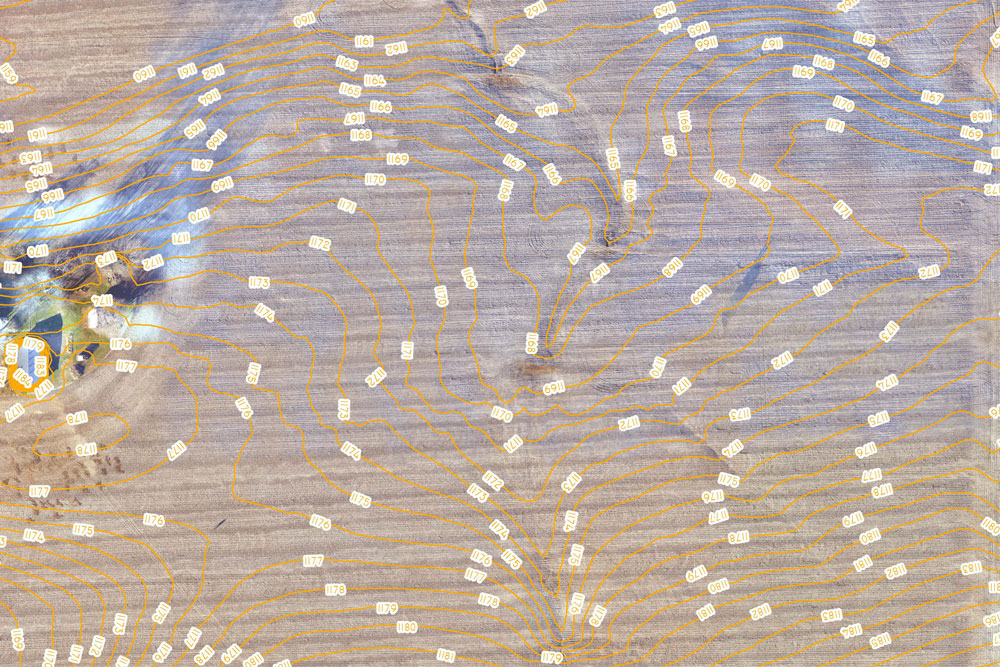
An example contour map created by the drone. -
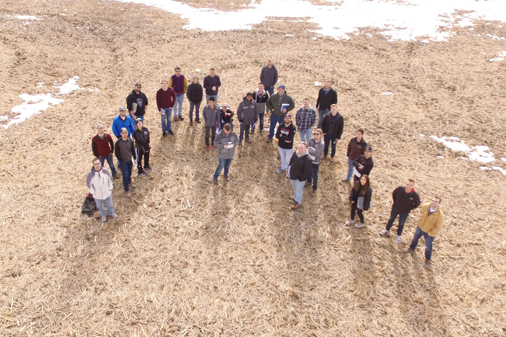
An aerial view of the Senior Design course.
Submit a Story